Speculation Lands Collection
Maps | Surveys | Grants | Supporting Documents
previous page | next page
Item Number:
0021
Description:
Map
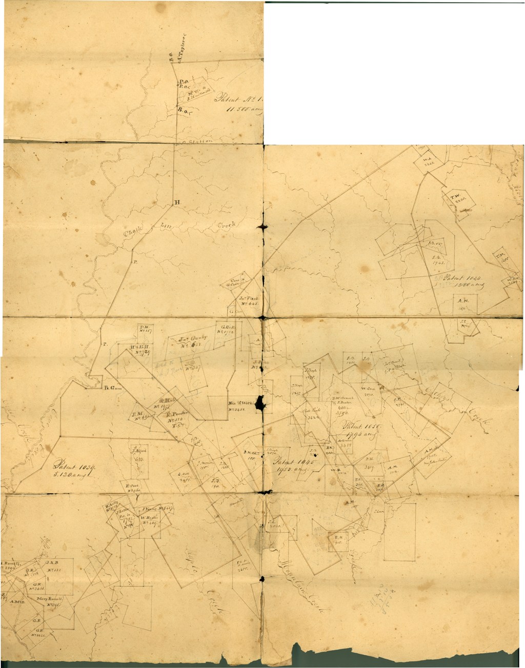
of various Patents. References acreage for Patent 1005: - 11,500
acres; Patent 1039: - 5,120 acres; Patent 1045: - 1,953 acres;
Patent 1050: - 1,794 acres; Patent 1060: - 450 acres; and, Patent
1031: - 1,624 acres. The map also references the name of the tract
owner, Plat number, and some acreage. The area general referenced is
Maple and Mountain Creek, East of Cedar Creek and West of Cathy's
Creek. The maps are undated and unsigned.
Date of Item:
Category:
Maps
Location:
Map case 1
