Speculation Lands Collection
Maps | Surveys | Grants | Supporting Documents
previous page | next page
Item Number:
0045
Description:
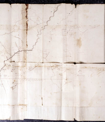
Map
of Patent 250, 36,494 acres. Covers the area Northeast and South of
Hendersonville and the Western part of Polk County to the South
Carolina border. Includes Patent numbers, names or initials of Plat
owners, and/or to whom granted or sold, and acreage The map predates
the creation of Lake Lure, and is undated and unsigned.
Date of Item:
Category:
Maps
Location:
Map case 1

