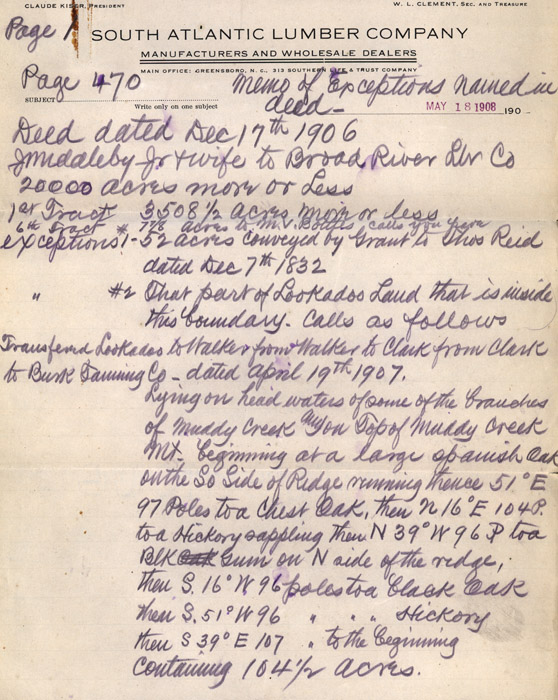
page 1
Page 470 Memo of exceptions named in deed-
Deed dated Dec 17th 1906
J Middleby Jr. & wife to Broad River Lbr Co 20,000 acres more or
less
1st Tract 3508 1/2 acres more or less
6th Tract 7 7/8 acres to M.V. [Bolttes?] calls you [pave?]
exceptions 1-52 acres conveyed by Grant to Thos [Thomas] Reid dated Dec
7th 1832
Exceptions #2 That part of Lookadoo Laud that is inside this
boundary. Calls as follows
Transferred Lookadoo to Walker from Walker to Clark from Clark to Bank
Tanning Co- dated April 19th 1907.
Lying on head waters of some of the [borders?] of Muddy Creek and on Top
of Muddy Creek Mt. beginning at a large spanish oak on the So [South]
Side of Ridge running thence 51 [degrees] E 97 Poles to a Chest Oak,
then N 16 [degrees] E 104 P. to a Hickory sappling then N 39 [degrees] W
96 P to a Blk Gum on N side of the ridge, then S. 16 degrees W 96 poles
to a black oak then S. 51 degrees W 96 poles to a Hickory then S 39
[degrees] E 107 poles to the beginning containing 104 1/2 acres.