Item Number:
0001
View:
SW
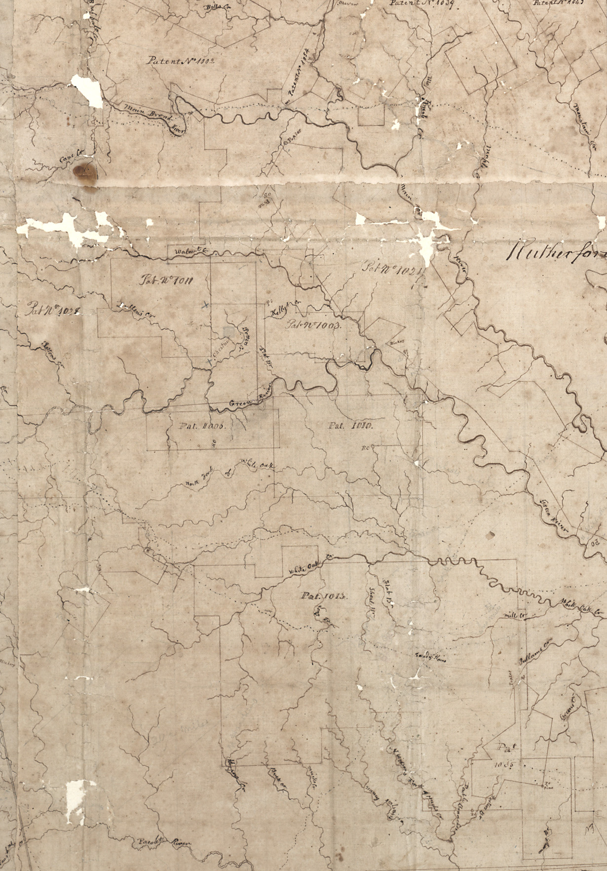
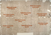
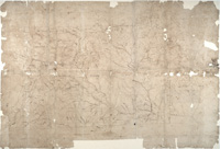
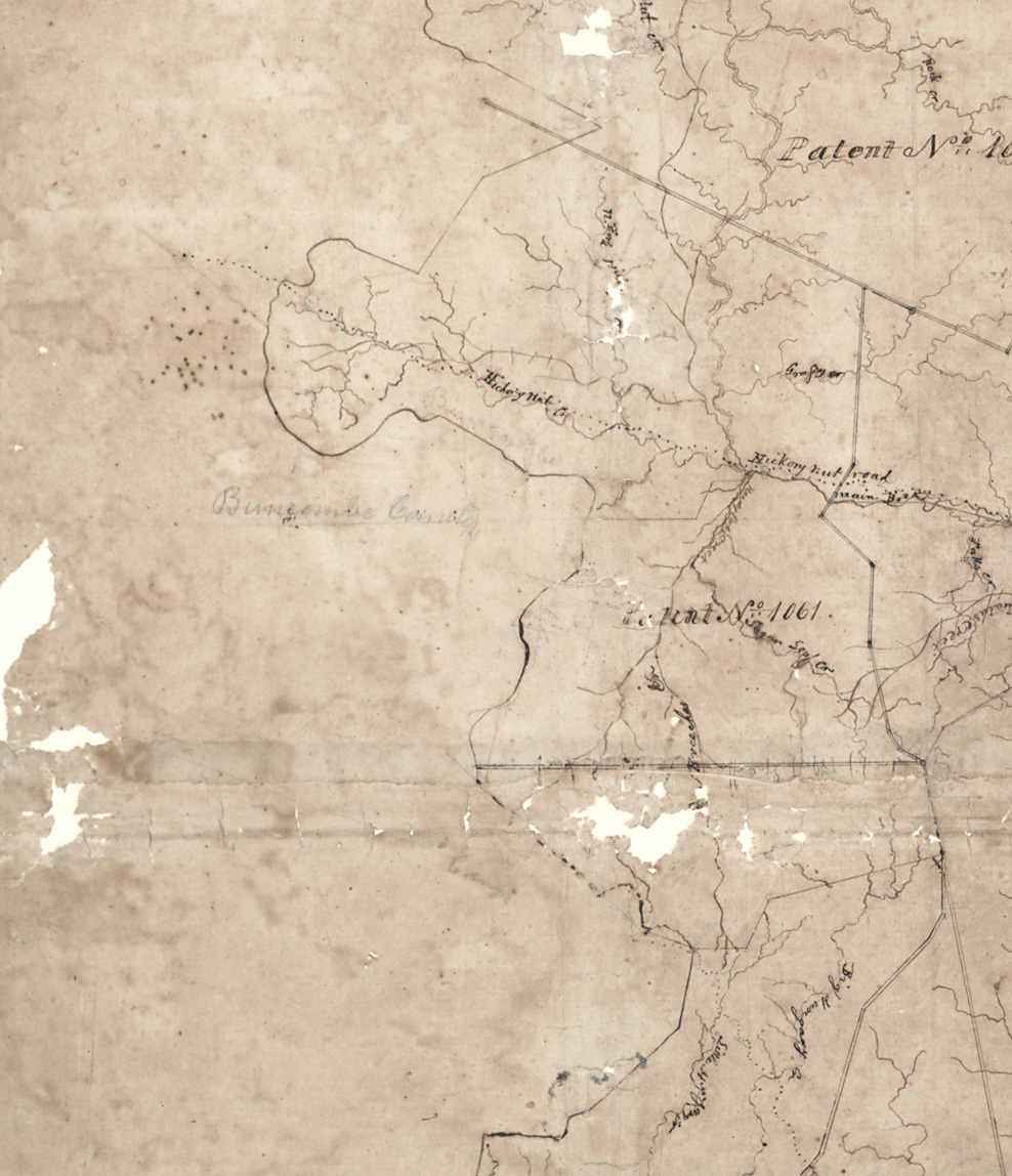
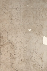
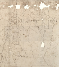
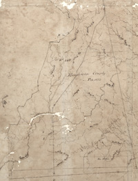
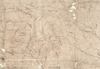
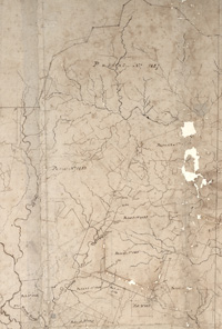
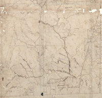
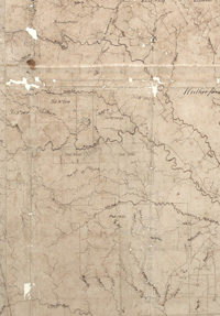
Rutherford County detail
Description:
"Speculation
Land Company" Patents in Buncombe, Cleveland, Henderson, McDowell,
and Rutherford Counties. Approximate date, after the creation of
McDowell County in 1842 and prior to the creation of Polk County in
1857. The map measures 52" X 35" and is paper on muslin. Scale is 80
chains to the inch (one mile) and covers an area approximating 1,305
square miles. The detail includes numbered Patents, some acreage,
rivers, Patent and County boundaries, and mountainous areas.
Date of Item:
Category:
Maps
Location:
Map case
1