[Page 2]
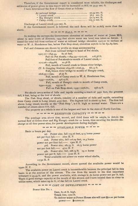
Therefore, if
the Government report is considered most reliable, the discharges and
estimates of power given in this report will be increased 20.86
[percent] on 59.57 sec. ft.
I have determined the flow of
Green river as follows:
At railroad bridge........................50.34 sec. ft
" Laurel creek............................56.5 sec. ft.
" Big Hungry creek.....................92.14 sec. ft.
" Camp creek.............................105.12 sec.
ft.
Discharge of
Laurel creek 3.52 sec. ft.
If the government record is
followed the said flows will be [20.86 percent] more than the above.
** ** ** ** FALL ** ** ** **
In making the surveys the Government elevation of surface of water at Jones Mill, about 1/2 mile south of Zirconia, 1933 feet above mean sea level, was taken as datum. I found the total fall from surface of water at railroad bridge elevation 1927.70 to surface of water a W.A. Henderson line, below Fish Stop shoal, elevation 1076.81 to be 850.89 feet.
Fall and distances are shown by profile on maps
accompanying
Fall from railroad bridge to head of Pot shoals, 1927.70-1845.44, 82.26
feet.
Fall on Pot shoals, -1845.44-1717.06, 128.38 ft.
Fall foot of Pot shoals to mouth of Laurel creek,- 1717.06-1694.68,
22.38 ft.
Fall, mouth of Laurel creek to Green river bridge, (U.S. Gauging
Station) 1694.68-1626.55, 68,13 ft.
Fall, Green river bridge to mouth of Hungry creek, 1626.55-1590, 36.55
ft.
Fall, mouth of Camp creek to W.A. Henderson line 1335-1076.81, 258.19
ft.
Fall, mouth of Hungry creek to mouth of Camp creek, 1590-1445, 255.00
ft.
Fall on Fish Stop shoal 1335-1076.81, 258.19 ft.
Pot shoals are a series of falls and rapids covering a
reach of 3950 feet, the greatest fall, 8 feet, being at the foot of
shoals.
The Fish Stop shoal, or shoals, consists of a number of falls and
rapids, extending from Camp creek to Long island, 4150 feet. The
highest fall is about 15 feet. The first fall above Long island,
known as the "Fish Stop:, is 8 ft. high at normal water.
There are a number of others about 8 ft. fall.
The property as a whole is one of the largest and best in the state of
North Carolina.
** ** ** ** ** RESERVOIR CAPACITY ** ** ** ** **
The pondage
area above first, second, and third dams will be ample, to detain the
normal flow of Green river and Big Hungry reek for 12 hours, thus
securing the double discharge at all four power sites, for power
development during daylight.
** ** ** ** AVAILABLE POWER ** ** ** **
Basis 12 hours per day.
1st. Power site; fall 175.06 feet, 9,15 horse power net per foot fall.-
1600 H.P.
2nd. Power site; fall 126.09 feet, 10.3 horse power net per foot
fall. 1300 H.P.
3rd. Power site; 281.55 ft. 16.75 horse power net per foot
fall. 4710 H.P.
4th. Power site; fall, 268.19 ft. 19.11 horse power net per ft.
fall. 5120 H.P.
Total available net power on water wheel shafts, 12730 H.P.
According to the government record, above quoted the
available power would be 15400 H.P.
The available power on Laurel creek is inconsiderable because the
principal fall in this basin is at the sources of the stream. The
rise from the mouth to the first important tributary is 99.44 ft. and
the power available, with storage is .60 horse power net per ft.
fall. There is good storage capacity at the mouth of this stream
and I have located dam on river to utilize same, which takes up 61 ft.
of the fall on Laurel creek.
** ** ** ** COST OF DEVELOPMENT ** ** ** **
Power site No. 1.
Dam, 82,26 ft. high
Trunk line, 2700 ft.
To deliver water at Power House site will cost $70.00 per horse power -
$112000.00
