[Page 1]
Hal M. Walton Lands
Lafayette Lane and Lou Lane
To --- DEED --- Dated Feb. 14, 1903; Burke Co. D/B Q#2, page 478
Jessy Roper
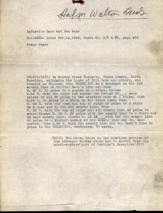
DESCRIPTION: In Silver Creek Township, Burke County, North Carolina, adjoining the lands of Bill Lane and others, and bounded as follows, viz: BEGINNING on a chestnut on the old county line in William Lane's line and runs S. 30 E. 11 poles to a poplar on the ridge; thence S. 46 E. down the ridge and across the branch 56 ___; same course in all 82 poles to two chestnut oaks on a ridge; then S. 68 E. 66 poles to a stake in the ridge road; then W. 60 E. with the road and top of ridge 59 poles to a stake in a road and in the old county line; then N. 30 W. with the top of ridge and old county line 48 poles to stake; thence N. 10 W. 22 poles with the count line to a white oak in said county line; thence N. 55 XX___ with the old county line 60 poles to a hickory corner of the county line and Wm. Lane corner; then S. 58 W. with the county line and Wm. lane's line 86 poles to the BEGINNING, containing 73 acres.
(NOTE: The above tract is the northern portion of the 153-acre Walton claim and is carved from the north-eastern part of Justice's Exception #17)
