[Page 2]
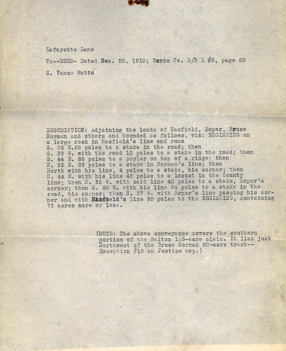
Lafayette Lane
To --- DEED --- Dated Dec. 20, 1910; Burke Co. D/B L#3, page 83
Z. Vance Watts
DESCRIPTION: Adjoining the lands of Hasfield, Roper, Bruce Norman and others and bounded as follows, viz: BEGINNING on a large rock in Hasfield's line and runs S. 36 E. 85 poles to a stake in the road; then S. 39 W. with the road 10 poles to a stake in the road; then S. 44 E. 86 poles to a poplar on top of a ridge; then N. 55 E. 32 poles t a stake in Norman's line; then North with his line, 4 poles to a stake, his corner; then N. 44 E. with his line 42 poles to a locust in the County line; then N. 25 W. with said line 40 poles to a stake, Roper's corner; then S. 60 W. with his line 54 poles to a stake in the road, his corner; then N. 57 W. with Roper's line passing his corner and with Hartfield's line 90 poles to the BEGINNING, containing 72 acres more or less.
(NOTE: The above conveyance covers the southern portion of the Walton 153-acre claim. It lies just Northwest of the Bruce Norman 80-acre tract -- Exception #18 on Justice map.
