[Page 3]
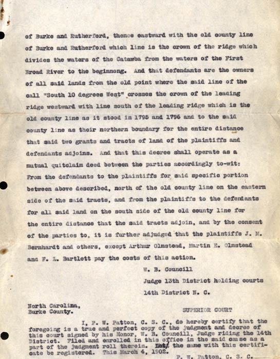
of Burke and Rutherford, thence eastward with the old county line of Burke and Rutherford which line is the crown of the ridge which divides the waters of the Catawba from the waters of the First Broad River to the beginning. And that defendants are the owners of all said lands from the old point where the said line of the call "South 10 degrees West" crosses the crown of the leading ridge westward with line south of the leading ridge which is the old county line as it stood in 1795 and 1796 and to the said county line as their northern boundary for the entire distance that said two grants and tracts of land of the plaintiffs and defendants adjoins. and that this decree shall operate as a mutual quit claim deed between the parties accordingly to-wit: From the defendants to the plaintiffs for said specific portion between above described, north of the old county line for the entire distance that the said tracts adjoin, and by the consent of the parties to, it is further adjudged that the plaintiffs J.M. Bernhardt and others, except Arthur Olmstead, Martin E. Olmstead and F.L. Bartlett pay the costs of this action.
W.B. Councill
Judge 13th District holding courts
14th District N.C.
North Carolina, Burke County, SUPERIOR COURT
I, P.W. Patton, C.S.C., do hereby certify that the foregoing is a true and perfect copy of the judgment and decree of this court signed by his Honor W.B. Council, Judge riding the 14th District. Filed and enrolled in this office in the said cause as a part of the judgment roll therein. Let the same with this certificate be registered. This March 4, 1902.
P.W. Patton, C.S.C.
