i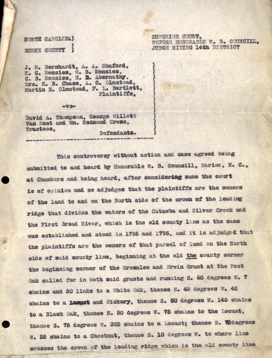
[Page 2]
North Carolina, Burke County.
Superior Court, Before Honorable W.B. Councill, Judge Riding 14th District
J.M. Bernhardt, A.A. Shuford, K.C. Menzies, W.B. Menzies, C.B. Menzies, H.D. Abernathy, Mrs. H.B. Chase, A.G. Olmstead, Martin E. Olmstead, F.L. Bartlett, Plaintiffs,
vs.
David A. Thompson, George Willett Van Next and Wm. Redmond Cross, Trustees, Defendants.
This controversy without action and case agreed being submitted to and heard by Honorable W.B. Councill, Marion, N.C., at Chambers and being heard, after considering same the court is of opinion and so adjudges that the plaintiffs are the owners of the land to and on the North side of the crown of the leading ridge that divides the waters of the Catawba and Silver Creek and the First Broad River, which is the old county line as the same was established and stood between 1795 and 1796, and it is adjudged that the plaintiffs are the owners of that parcel of land on the North side of said county line, beginning at the old the county corner the beginning corner of the Greenlee and Erwin grant at the Post Oak called for in both said grants and running S. 60 degrees W. 7 chains and 50 links to a White Oak, thence N. 45 degrees W. 40 chains to a Locust and Hickory, thence S. 80 degrees W. 145 chains to a Black Oak, thence N. 50 degrees W. 75 chains to the Locust, thence S. 75 degrees W. 325 chains to a Locust; thence N. 70 degrees W. 55 chains to a Chestnut, thence S. 10 degrees W. to where line crosses the crown of the leading ridge which is the old county line