----Private Report----
Property:-
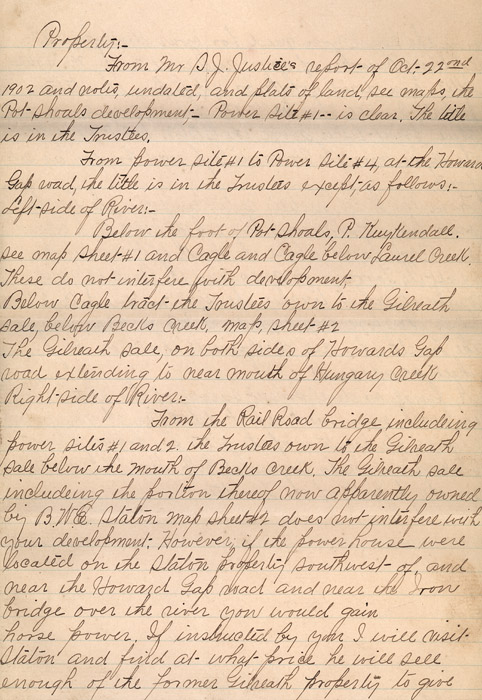
From Mr. S. J. Justice's report of Oct. 22nd 1902 and notes, undated, and plats of land, see maps, the Pot shoals development- Power Site #1--is clear. The title is in the Trustees.
From power sit #1 to Power site #4, at the Howard Gap road, the little is in the Trustees except, as follows: Left-side of River:-
Below the foot of Pot Shoals, P. KuyKendall. See map sheet #1 and Cagle and Cagle below Laurel Creek. These do not interfere with development. Below Cagle tract the Trustees own to the Gilreath sale, below Becks Creek, map, sheet #2[.] The Gilreath sale, on both sides of Howards Gap road extending to near mouth of Hungary Creek Right side of River:-
From the Rail Road bridge including power sites #1 and 2. the Trustees own to the Gilreath sale below the mouth of Becks Creek. The Gilreath sale including the portion thereof now apparently owned by B.W.E. Staton map sheet #2 does not interfere with your development. However, if the power house were located on the Staton property southwest of, and near the Howard Gap road and near the Iron bridge over the river you would gain horse power. If instructed by you I will visit Staton and find at what price he will sell enough of the former Gilreath property to give
